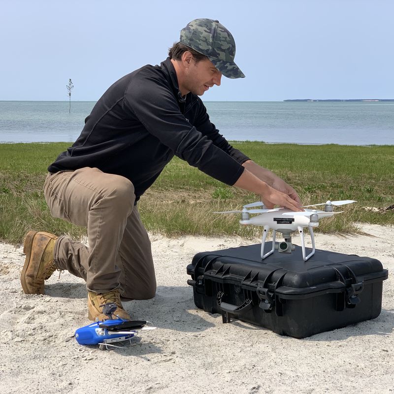
Drone photogrammetry surveying refers to the use of unmanned aerial vehicles (UAVs) equipped with cameras to capture aerial images for the purpose of creating accurate topographic surveys. Below is a summary of the photogrammetry process and the benefits of using a drone for your project.
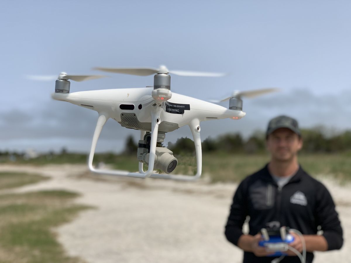
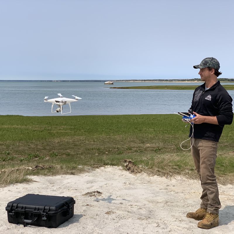
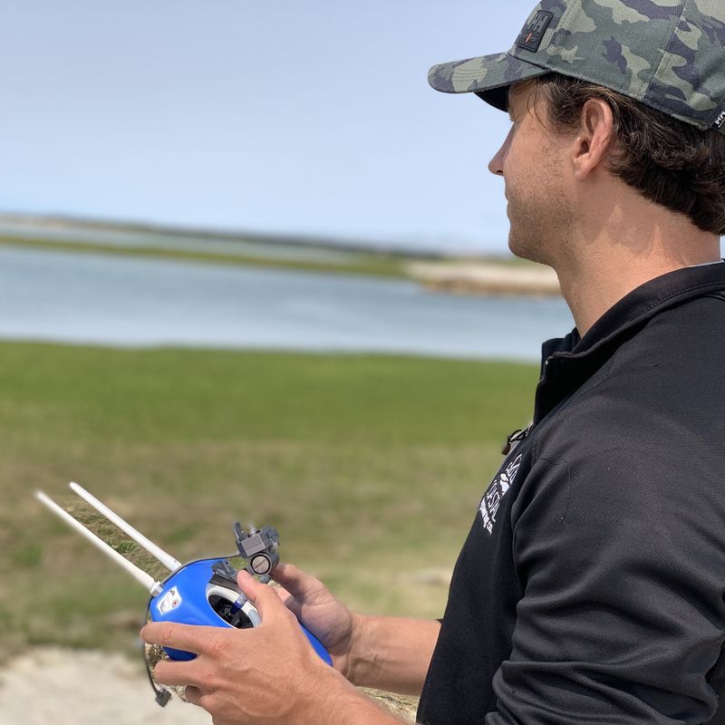
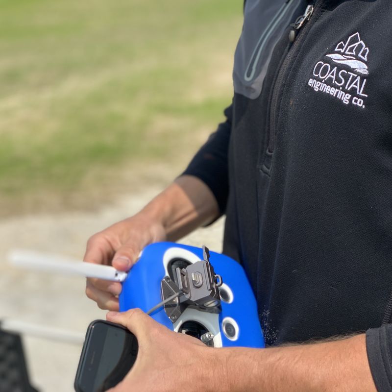
Aerial Data Collection: Our drone is equipped with a high-resolution camera that is deployed to capture a series of overlapping images. The drone will fly at predetermined altitudes and follow specific flight paths to ensure a comprehensive coverage of your project area.
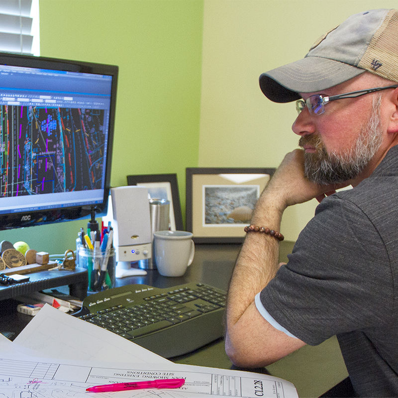
Image Processing: The collected aerial images are processed using specialized photogrammetry software which analyzes the images, identifies common points, and creates a 3D model by calculating the position, orientation, and size of each point in space.
Photogrammetry is a technique that involves extracting precise measurements from images taken at different angles. When applied to aerial imagery captured by drones, photogrammetry algorithms can reconstruct the terrain's elevation data.
Point Cloud: By identifying common points in overlapping images, the software can triangulate the positions and generate a point cloud - a dense set of XYZ coordinates, each representing a specific location on the object's surface. This point cloud is then processed to create Digital Elevation Models (DEMs) which represent the terrain's surface as a collection of points with elevation values, allowing for detailed topographic analysis.
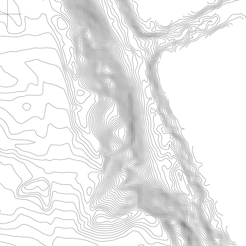
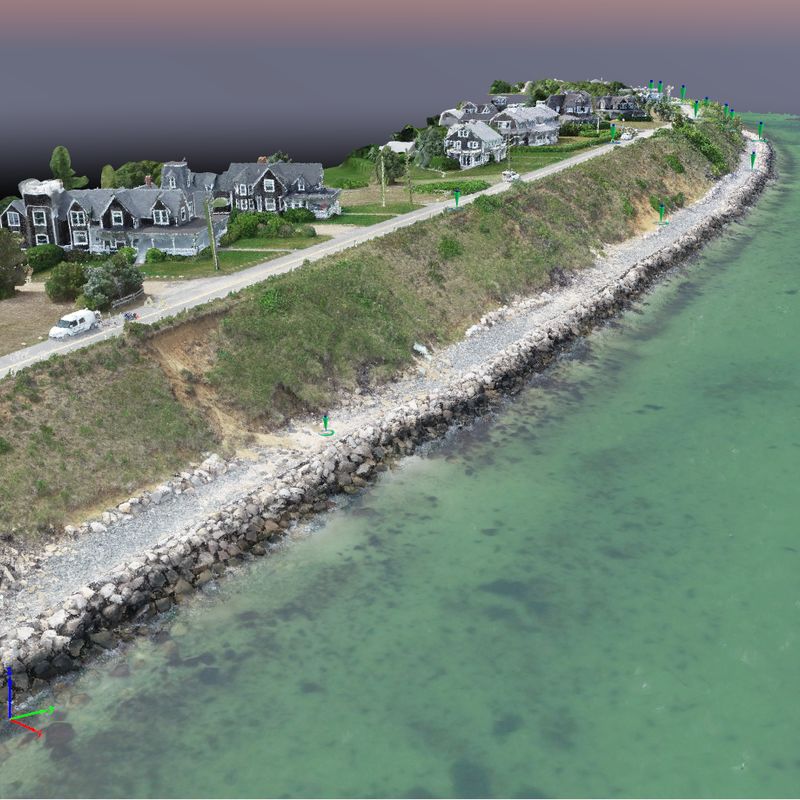
Digital Elevation Models (DEMs) can be segmented into Digital surface models (DSMs) and Digital Terrain Model (DTMs). The image to the right is an example of a Digital Terrain Model, which accurately portrays the terrain's topography and relief.
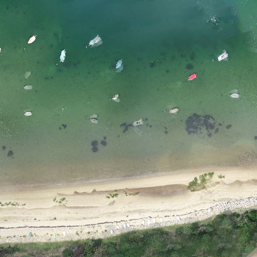
Orthomosaic Mapping: Another important output of drone photogrammetry is the creation of orthomosaic maps. Orthomosaics are high-resolution, georeferenced aerial images that have been stitched together, corrected for distortions, and adjusted for topographic relief. These maps provide a detailed and accurate representation of the surveyed area.
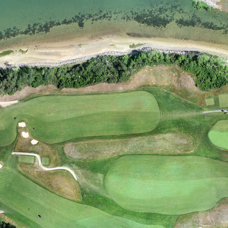
Coastal Monitoring: Drone photogrammetry enables regular monitoring of coastal areas to track changes in topography, erosion, and shoreline movement. By comparing multiple surveys over time, it becomes possible to assess the impact of natural processes and human activities on coastal regions.
Environmental Studies and Planning: The data derived from drone photogrammetry surveys can be used for various environmental studies and coastal management initiatives. It aids in analyzing coastal erosion, assessing habitat conditions, planning infrastructure projects, and understanding the impacts of climate change.
Cost and Time Efficiency: Compared to traditional surveying methods, drone photogrammetry offers significant cost and time savings. Drones can cover large areas quickly and provide accurate data without the need for extensive ground-based surveys.
Safety and Accessibility: The use of drones minimizes risks to human surveyors in hazardous environments. They can access remote or hard-to-reach areas, such as cliffs, wetlands, or unstable terrain, where traditional surveying methods might be challenging or dangerous.
Overall, photogrammetry can be a valuable tool to complement the traditional surveying methods. Coastal Engineering Co. has successfully employed drone surveying for a number of shorefront restoration and erosion control projects on Cape Cod. To schedule a meeting with Coastal Engineering team to evaluate survey methods that may be a good fit for your project, call 508-255-6511 or email info@coastalengineeringcompany.com.
