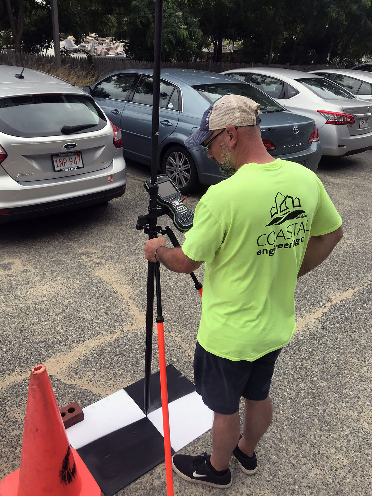
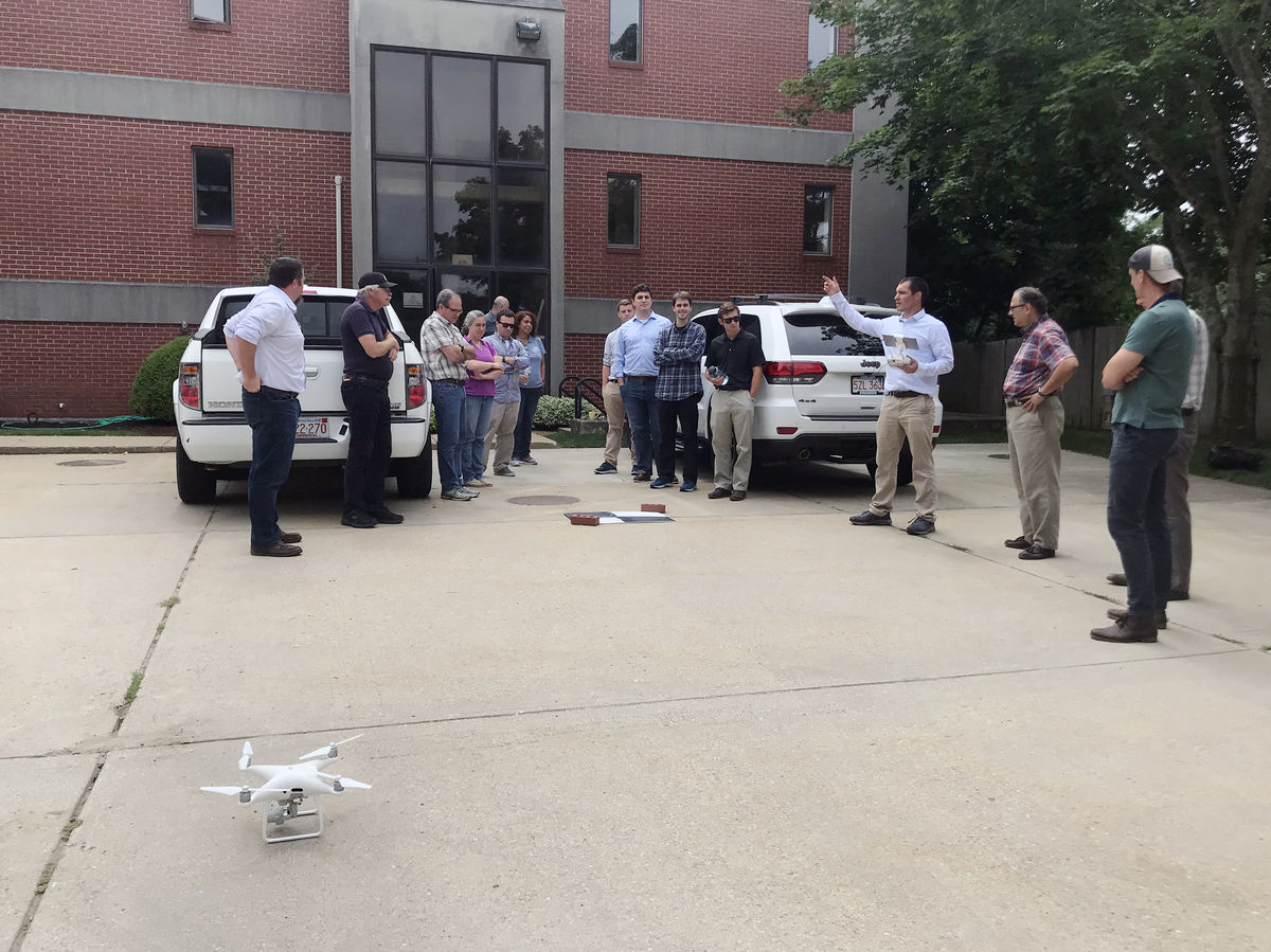
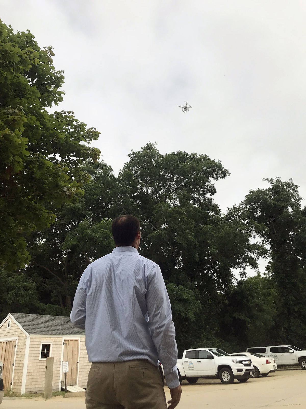
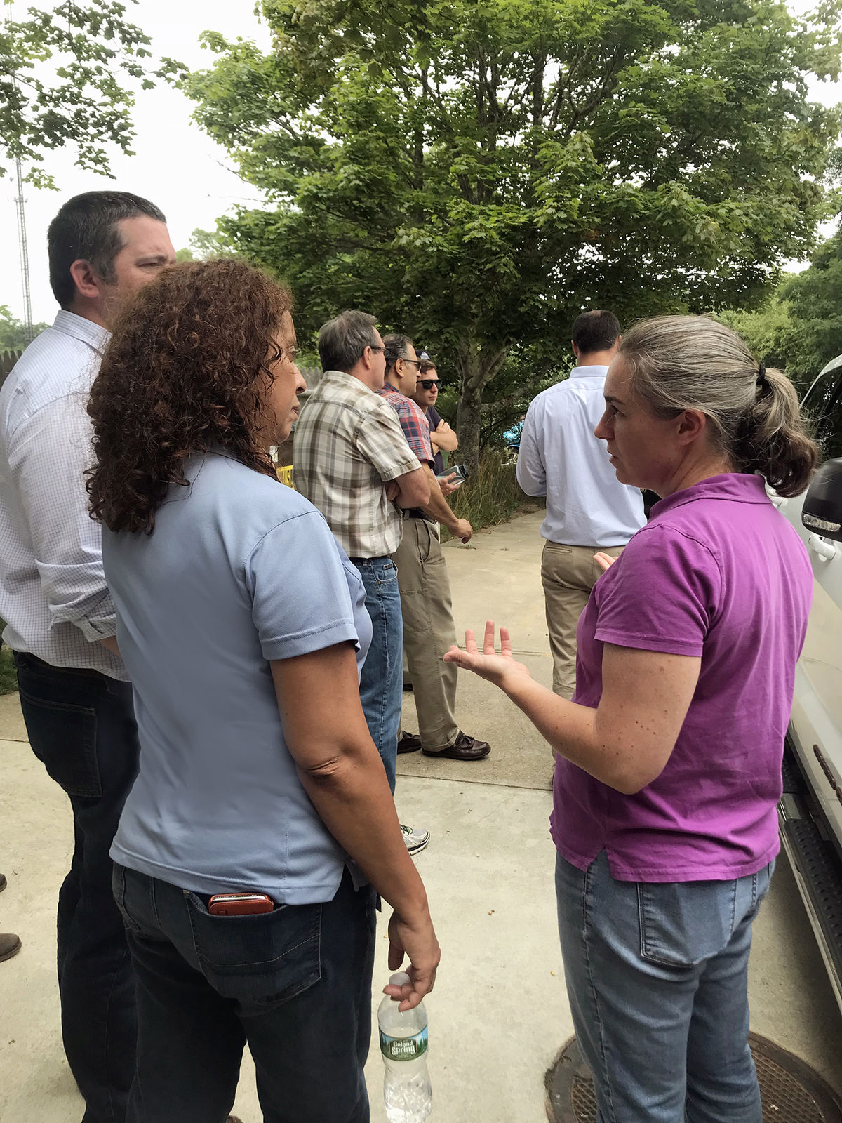
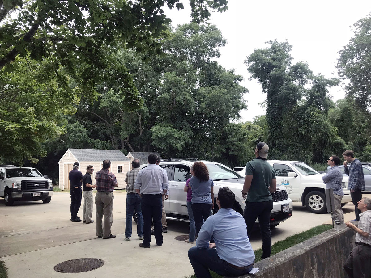
As the use of unmanned aerial systems is rapidly expanding, Coastal Engineering employees learned about this technology's potential for completing surveys via a live demonstration.

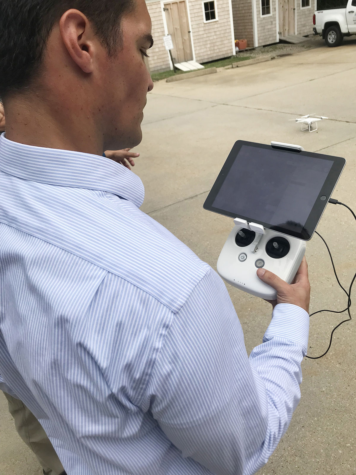
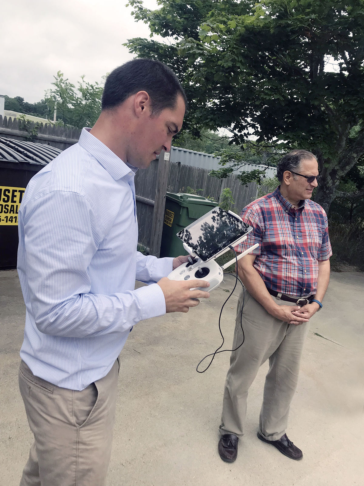
A controller connected to a tablet was used to demonstrate how a drone camera takes images. These images can then be switched to desktop and stitched together; the result is a high definition aerial. After a spot-check verification, the image can further be used to extract information necessary to produce a topographical site plan which serves as a basis for civil engineering design. While in some cases this process is faster and more cost-effective, by nature it has certain limitations. It works great for open sites such as beaches, but wouldn't work as well in tree-covered areas, so ground survey would still be necessary. Another limitation is weather conditions.