This report compares impact observed by our engineers in Brewster and Provincetown after January 4, 2018 storm.

Named by meteorologists an intimidating term "bomb cyclone", Grayson was an intense western Atlantic winter storm which clobbered the East Coast with blizzard conditions and major coastal flooding on January 4, 2018. The official term is explosive cyclogenesis, or bombogenesis, which occurs when a midlatitude cyclone rapidly intensifies, dropping at least 24 millibars over 24 hours. This can happen when a cold air mass collides with a warm air mass, such as air over warm ocean waters.
Besides the cool name, winter Storm Grayson was unique in that the peak of the storm coincided with high tide, which was already at astronomical highs due to the lunar cycle. The combination caused the verified water level around high tide to be 3 feet greater than predicted water level, according to NOAA data for Station 8443970 Boston Harbor. On Cape Cod, the combination was dangerous to many properties' shorelines. This report specifically compares observations for properties in Brewster and Provincetown, MA.
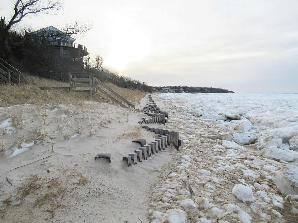
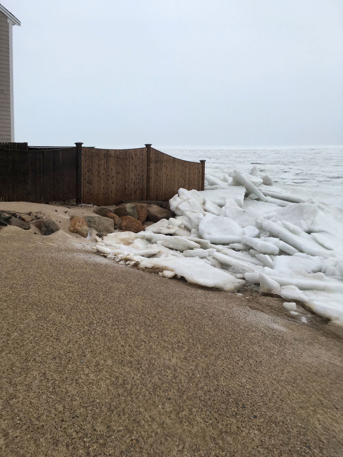
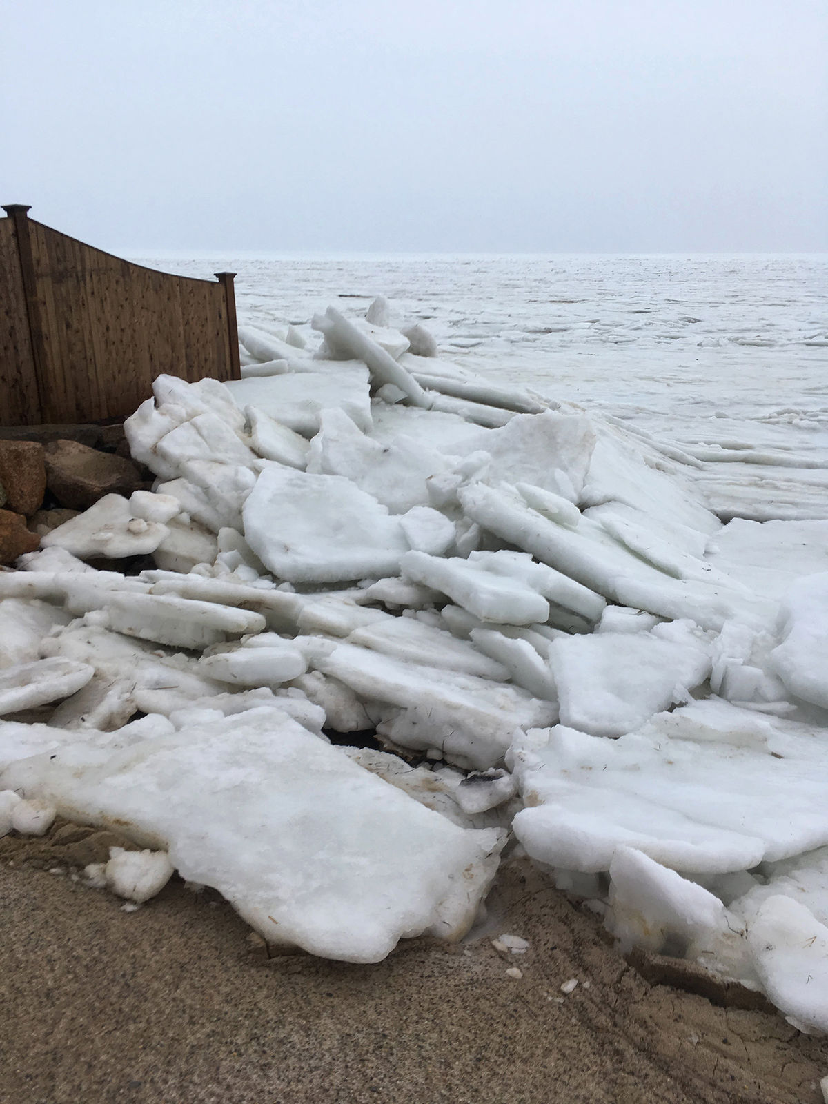
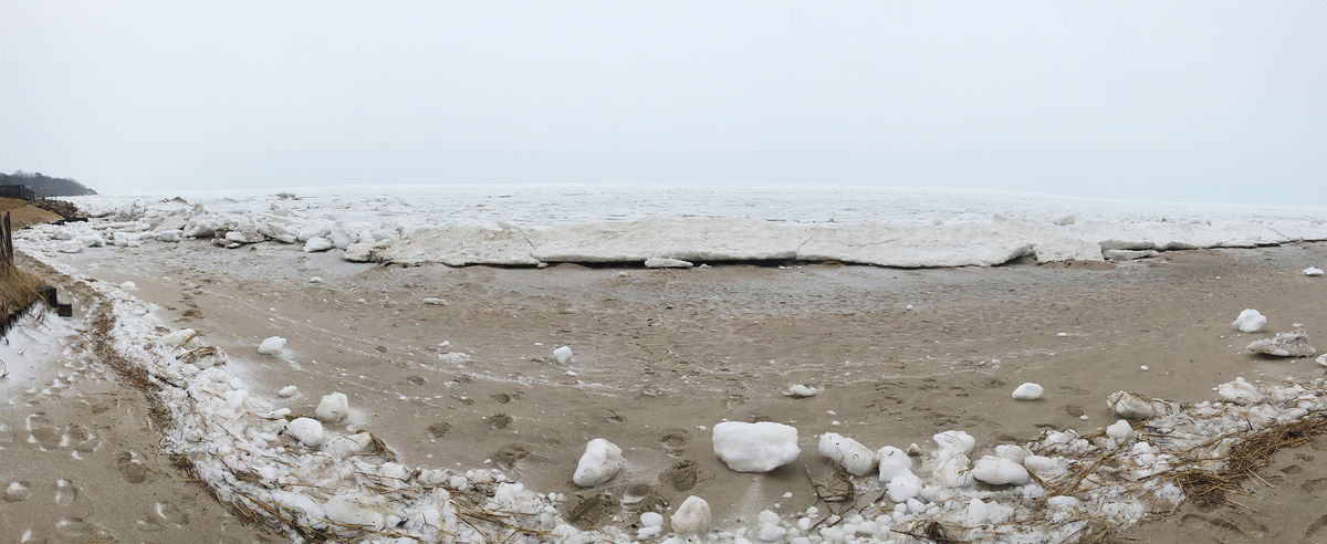
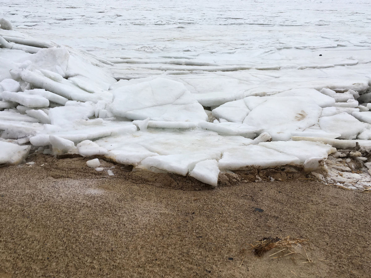
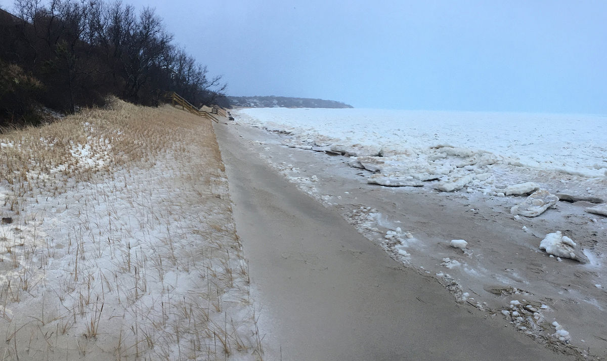
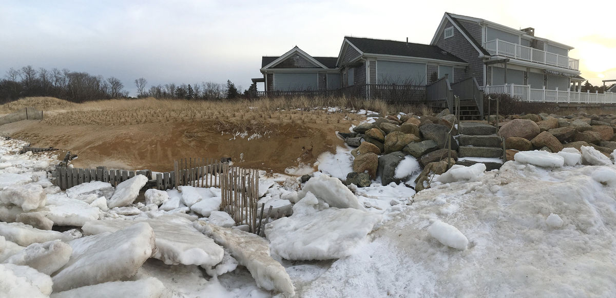
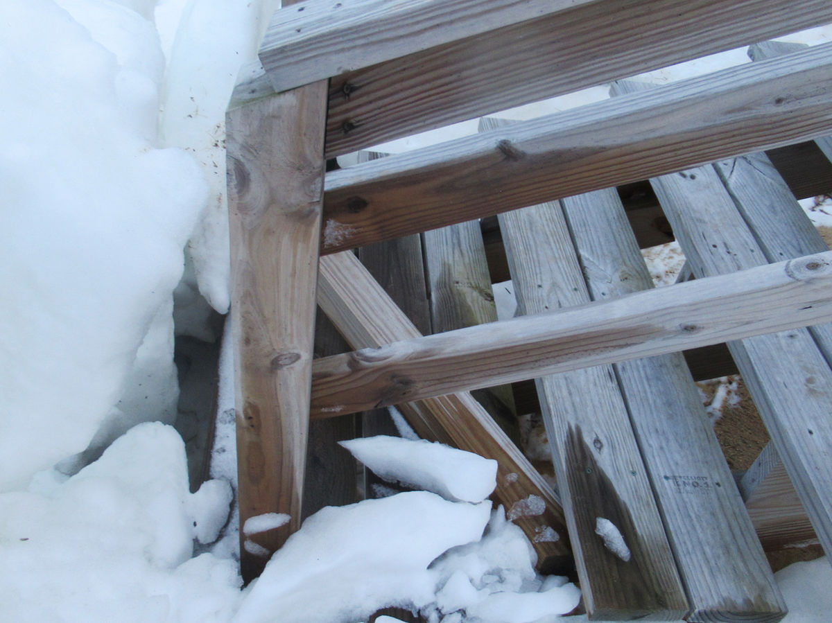
Brewster: Fortunately for shorefront property owners on Cape Cod Bay, the impact was minimal. The waters in Cape Cod Bay had been previously frozen and the ice acted like a dampener to the waves, reducing the energies of waves hitting the shoreline and protecting the erosion control structures. As shown on the photos below, the ice expanded all the way up to the sand fences but spared them from damage. The underlying coir envelopes were not uncovered, so no additional sand nourishment is recommended at this time. However, it is advisable that waterfront property homeowners take down the seasonal portions of staircases for the winter and install snow fences only in the areas that don't get reached by waves, because neither are meant to handle wave impact. The photos below illustrate how Grayson strongly affected the snow fence and only minimally impacted the stairs with the seasonal portion detached.
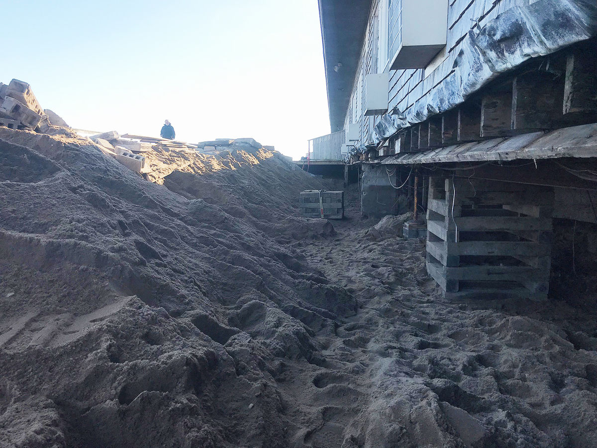
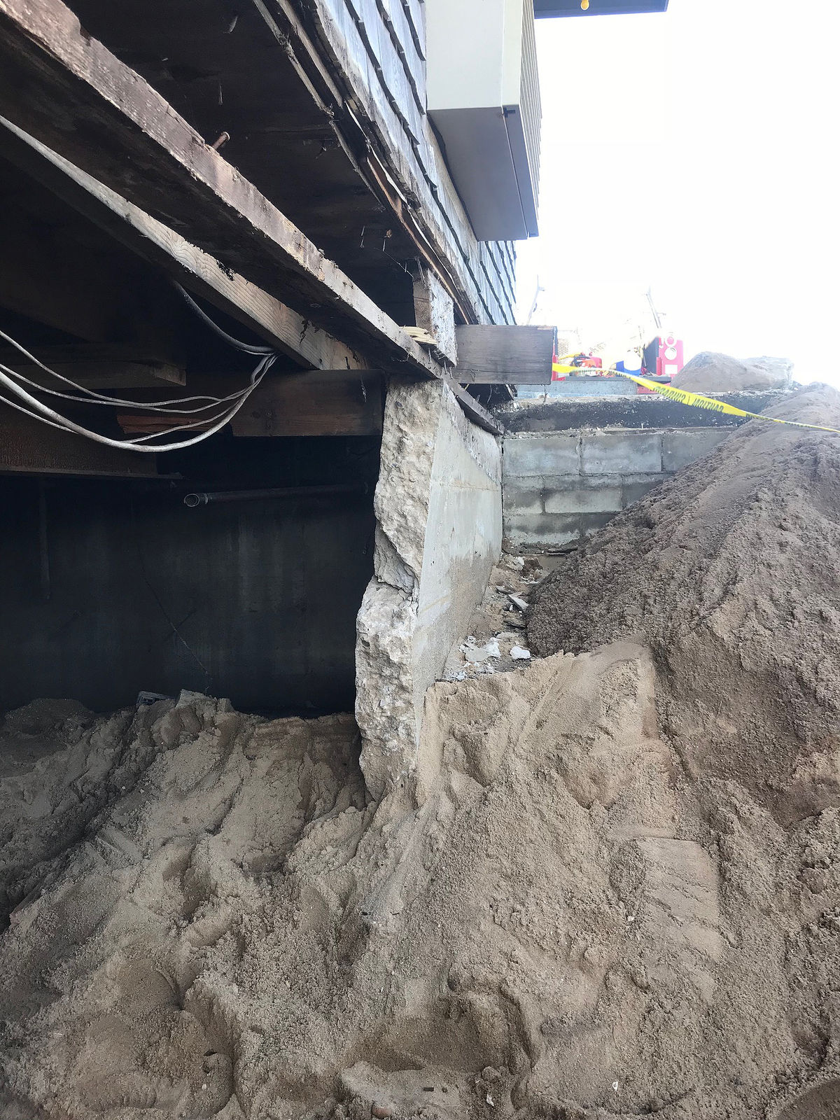
Provincetown: Properties in Provincetown were less fortunate, with storm damage undermining foundations and causing structural failures as a result of high tide. This proves that FEMA flood maps are accurate when they point out certain properties as subjected to flood damage in extreme events. These shorefront structures need to be flood proofed - follow these FEMA flood damage risk mitigation strategies to start.